Recording profiles
For individual use cases like transects, finding roosts and others, recording profiles are used that support a certain application. Depending on the application, different screens and features are available and recording parameters are setup accordingly.
The device is equipped with default profiles that cover most use cases. However, it is possible to adapt its parameters and create custom profile.
Applications
Explore: Explore a location and record bat activity
Transect: Follow a route to monitor activity in an area
Counter: Count outgoing and incoming bats
Passive: Monitor activity at a location
Explore

Detect bats, record its calls for classification and collect location data as you move. Use this application to spot bats and collect evidence. Recordings are triggered automatically, live monitoring is output and a GPX track is recorded for later review.
Transect

Transects help to repeatedly monitor bat activity in a larger area, with minimal effort. A transect is a path along which one counts and records occurrences of the objects of study (e.g. bats). Statistics allows to extrapolate to a larger area, like a forest or village, while only observing defined paths instead of the whole area.
A route can be planned and loaded into the device. The device will then display directions and support you in following the transect with high repeating accuracy. Waypoints can be defined to consider interesting places in greater detail. A GPX track is recorded to prove execution and control route deviations. Recordings are triggered automatically. Live monitoring make the work more interesting.
Plan a transect
A transect should be planned in advance carefully. Possibly there exist guidelines for your region that you should consider. Each time a transect is repeated it should be executed in the same manner to allow comparison of the captured data. You should define things like:
Route to follow
Landscapes, structures to capture
Time of day, seasons
Repetition frequency
Method (Area, Line, Point-Stop, …)
Moving speed
…
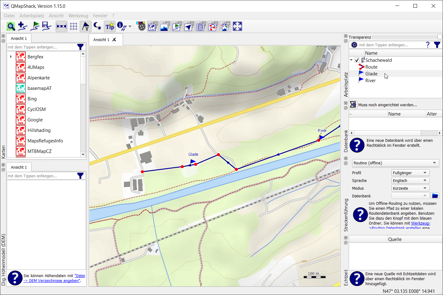
Routes can be planed on a computer prior to executing a transect. Create a GPX file that contains a route and/or waypoints.
Depending on the transect method, a route, waypoints or both should be created. Save the GPX file to a folder named “BLRoutes” onto the SD card.
- Route:
A route is a list of connected points that can be followed at a defined speed. The route lines are displayed in the map screen and allow to follow it and see the deviation to the actual position. A target walking speed (default 3km/h) should be maintained. Current moving speed and deviations are displayed.
- Waypoints:
Waypoints are ordered locations to head for and record for a certain amount of time. They are handled one after another. The device displays direction and distance to the next waypoint. Once a waypoint is reached, a defined time span (dwell time, default 5min) should be waited there to record activity. A countdown timer is displayed. Individual dwell times per waypoint can be defined by adding a <cmt> element, e.g. 60 seconds: <cmt>60</cmt>
Download this demo file as an example.
Note
If a GPX file is loaded that contains no route (<rte>) but a track (<trk>), the track will be converted to a route. Conversion will reduce the number of points of the track trying to keep the general directions. However, this may lead to inaccurate or unexpected results. Therefore it is recommended to convert tracks to routes manually or with other tools. With this feature it is possible to load previously recorded tracks directly.
Note
A maximum of 150 route points and 150 waypoints can be loaded from a GPX file. Longer files will be truncated.

Tip
It is recommended to visit the area once before, preferably during daylight, in order to assess the situation and any inaccessibility on site and adjust the plan if necessary. It may be dangerous to pass unknown obstacles in the dark.
Counter

Monitor a roost or cave and count outgoing and incoming animals. Live monitoring indicates activity. Each count is timestamped and stored in a log file (BATCOUNT.csv) for later analysis.
Passive

Passive monitoring allows unattended recording at a static location, e.g. record a whole night of activity in one place. The device will automatically record from sunset to sunrise and “sleep” in between.
Tip
To define a custom schedule, create a custom profile.
Note
If you leave the device unattended, make sure it is protected from rain and installed securely.
Custom applications
Custom applications can be setup by creating a custom profile XML file.
To create a custom application profile template file, see Custom recording profiles.